Deliverables

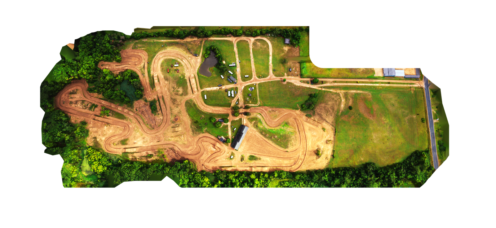
3D Models
Our high-resolution 3D models are crafted using advanced photogrammetry and 3D scanning techniques, delivering immersive and detailed visualizations of terrain, structures, and objects. Each model can be fully client-branded to reflect your company’s identity and style, ensuring a personalized experience that aligns with your brand guidelines.
To enhance usability, every 3D model comes equipped with a customizable user interface (UI) that enables intuitive interactivity. Users can seamlessly explore the model, toggle layers on and off, and focus on key project elements directly within the 3D environment. This dynamic interface allows stakeholders to visualize and interact with complex data in a clear and engaging way, making project communication and decision-making more efficient.

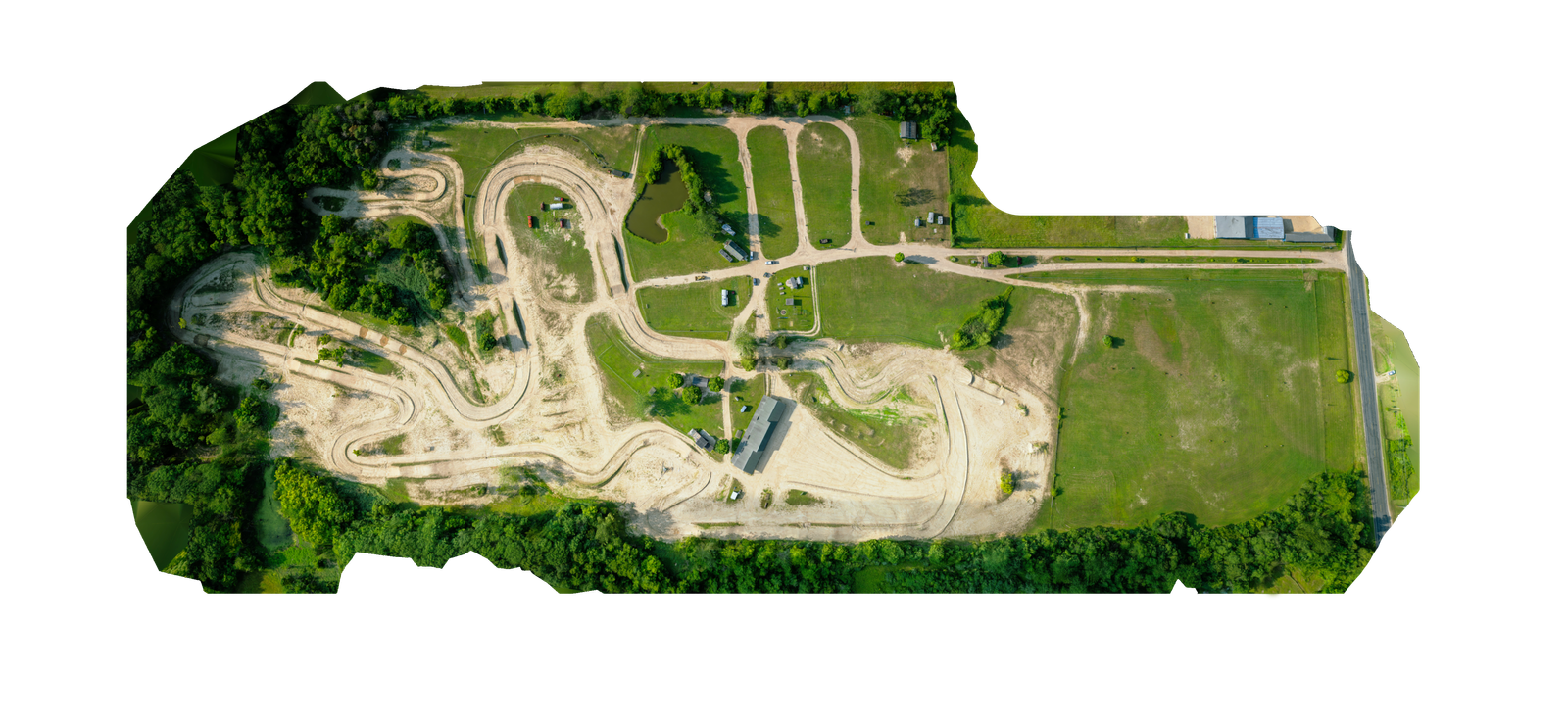
A/B Sliders
AB sliders are an excellent way to visualize progress over time. Through leveraging saved waypoint missions, it's possible to fly the exact same path over an area days, weeks, months, or even years apart. This consistency makes it easy to track changes, evaluate progress, and support critical decisions on space, design, and more.

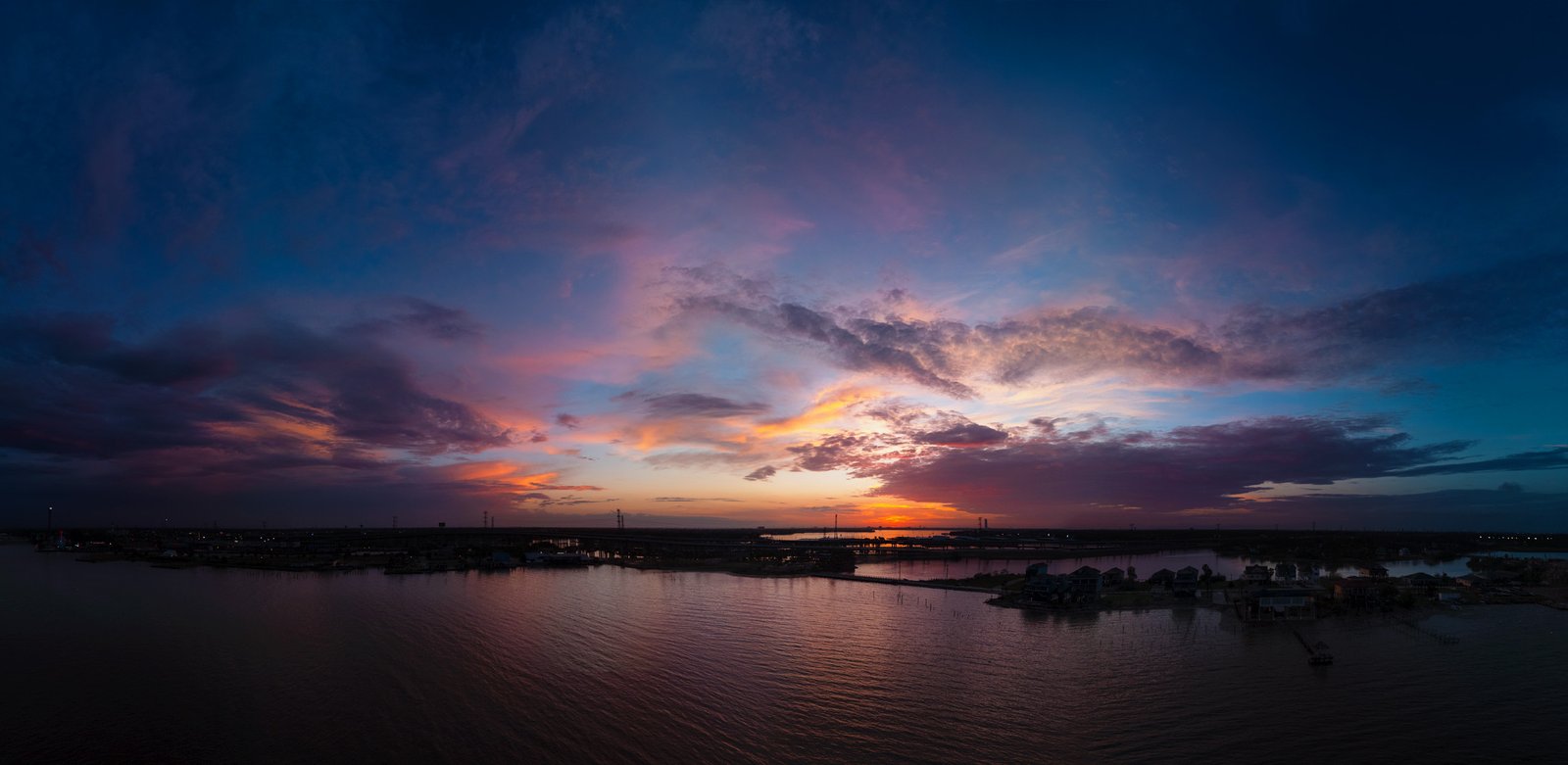
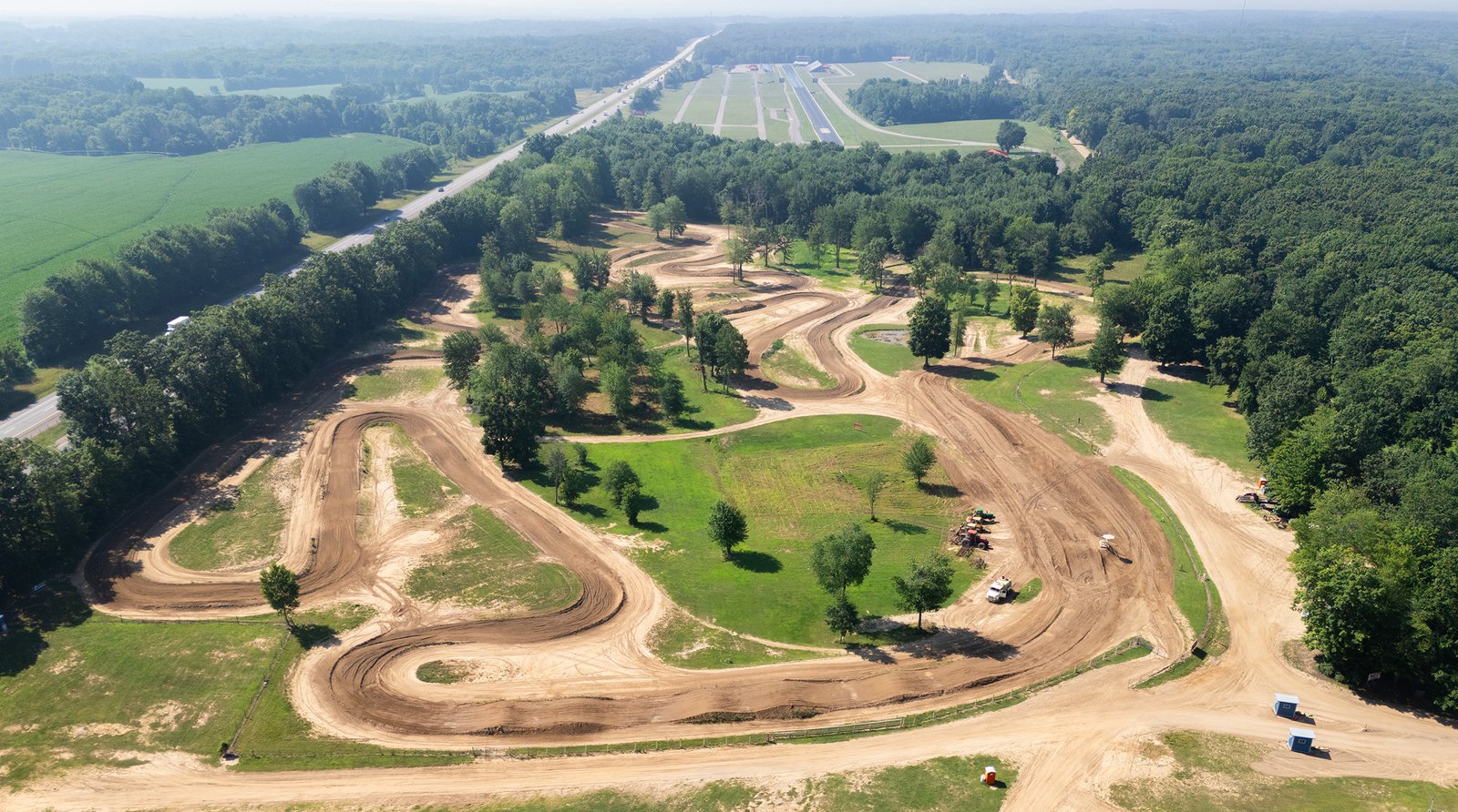
Videos
Professional video content including drone footage, time-lapse sequences, and project documentation. Our videos capture the full scope and scale of your project from unique aerial perspectives.

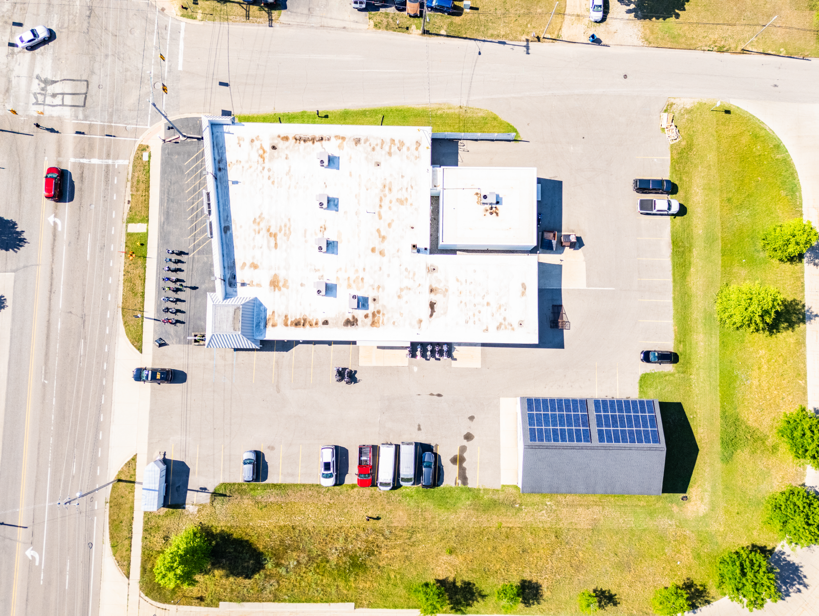
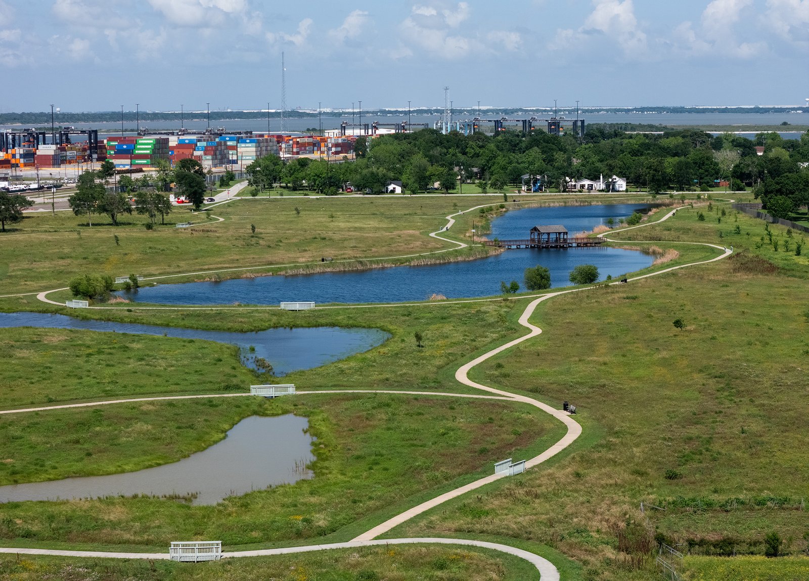
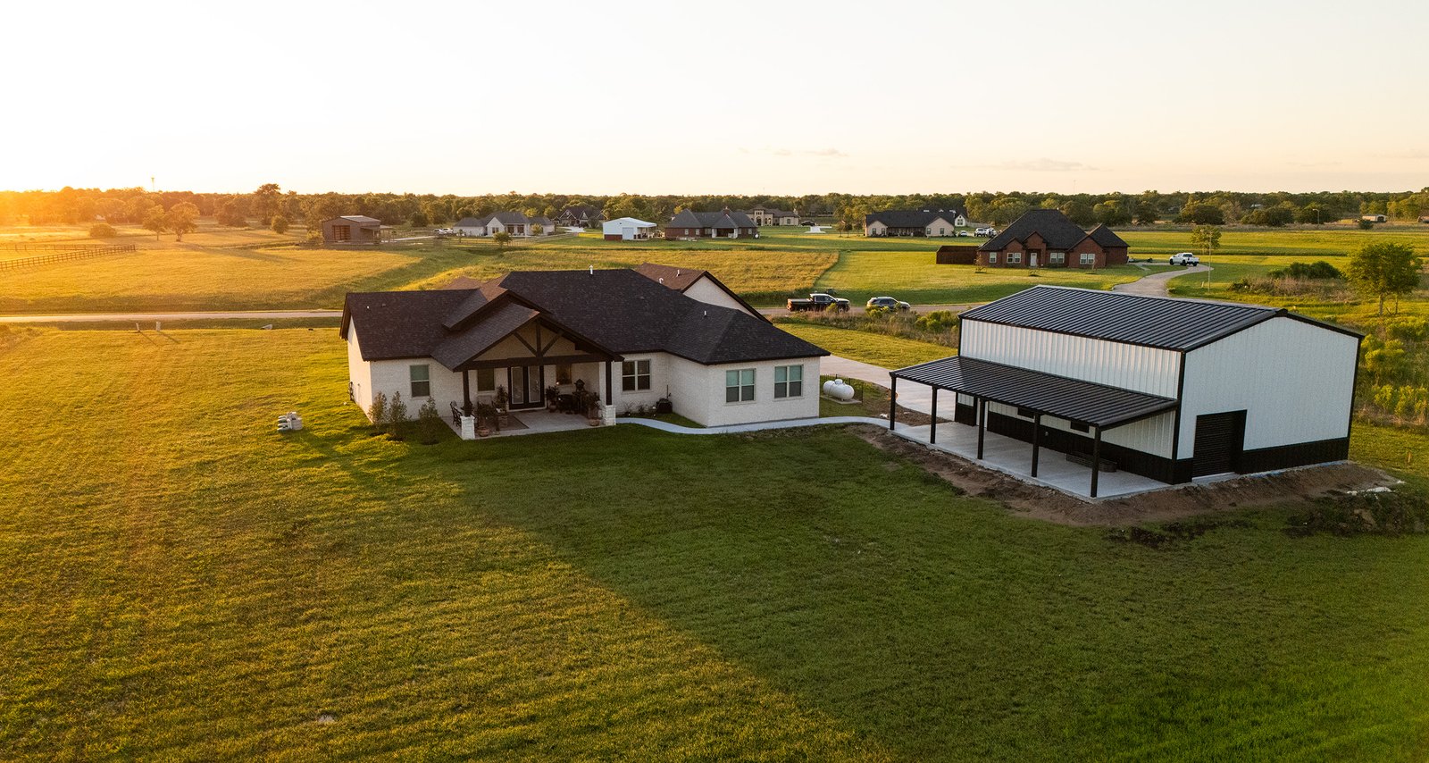
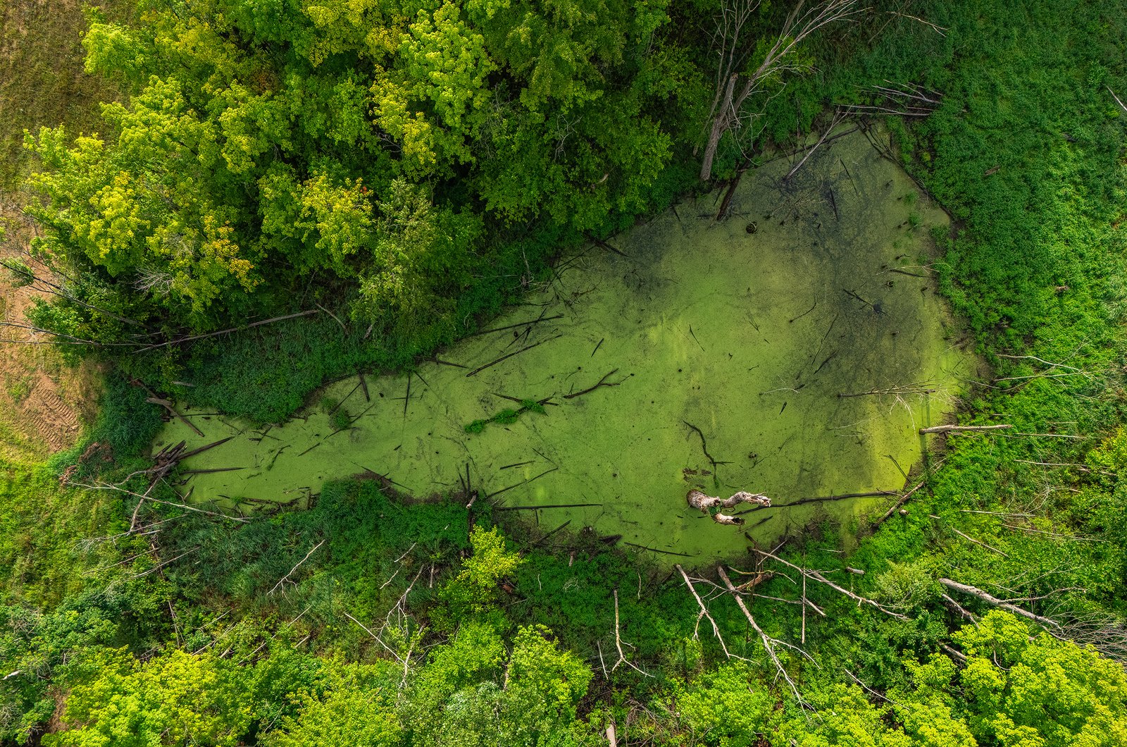
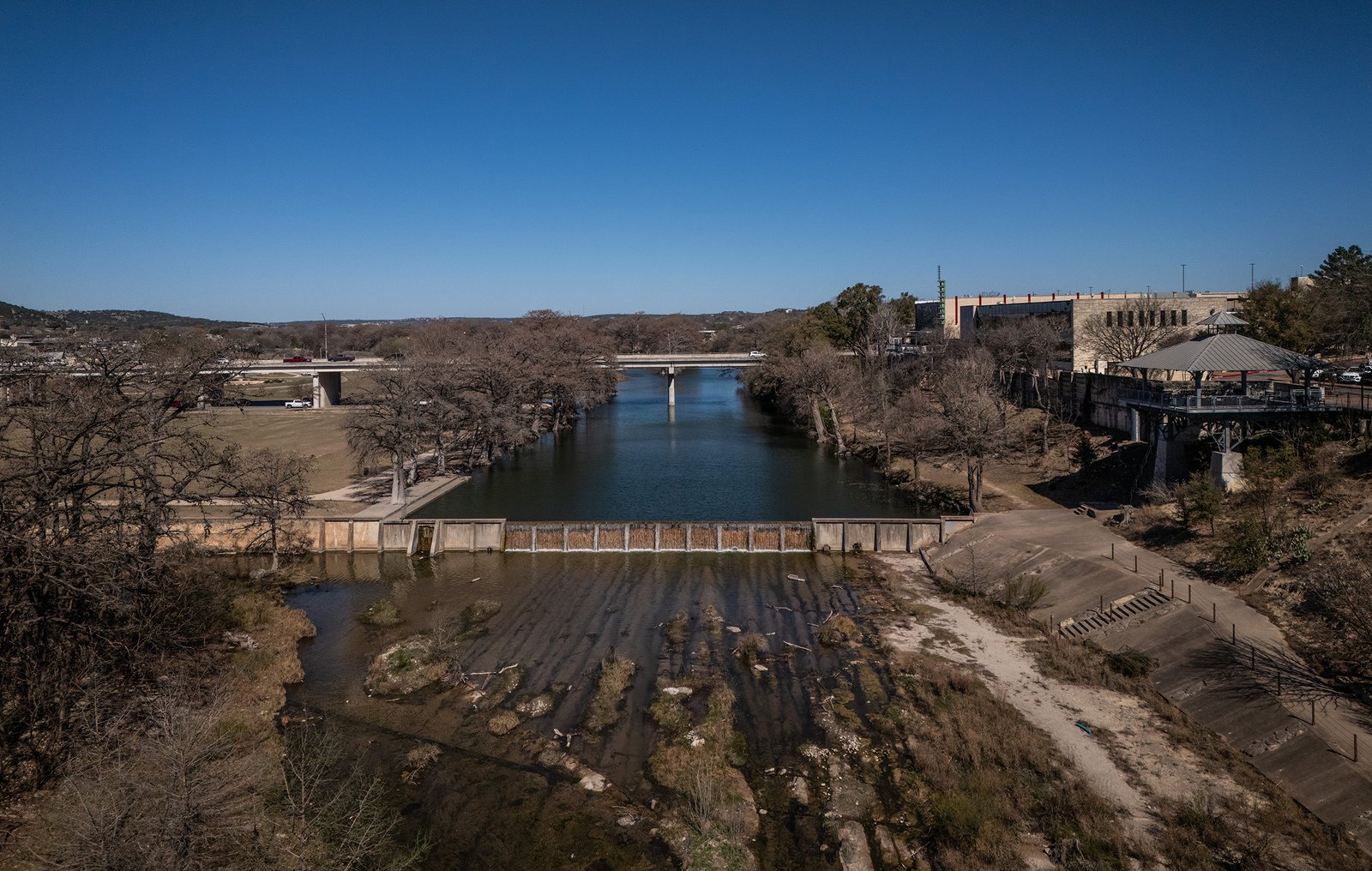
Photos
High-resolution photography services including aerial photography, site documentation, and project progress tracking. Our images provide detailed visual records and stunning marketing materials.


About A3E
I specialize in high-resolution drone imaging and 3D modeling, using automated flight paths, precision editing, and photogrammetry to produce accurate, immersive visual assets. I also have experience in data visualization, helping highlight clear patterns and trends through clean, impactful visual design.
At the core of my work is a commitment to clarity, creativity, and delivering visuals that inform, inspire, and engage.
FAA Part 107 Certified for Commercial UAV Operations. Fully insured with coverage available up to $10 million per project.
*Note: A3E Drone Services provides high-quality aerial data collection but does not interpret or certify survey-grade information. For projects requiring precise measurements or legal boundary determinations, a licensed land surveyor or survey engineer is required. AE3 Drone's services can complement the work of a survey professional but are not a substitute.

Dirk Thompson
Owner / Operator